
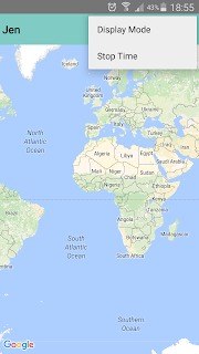
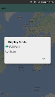
Jen was created as a helper app to the GPS tracker app, Loc. Given the data log created by Loc, Jen shows these locations on Google maps. Two settings are available. The user may choose to display all points in the map, or the user may opt to just display points where the tracking device stayed for a minimum number of minutes.
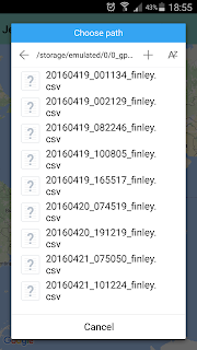
Being a helper app, Jen is very easy to use. Just tap on the upload icon at the upper right corner next to the menu icon (three vertical dots), and the app calls the device's file manager (e.g. ES File explorer), where you choose the source file as basis for the markers.
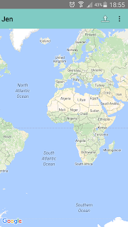
As an example, when I input the file of our trip to Ilocos, Jen displays the path we took.
Tapping a marker shows the time stamp, and speed at the selected point. Zooming in also shows path lines (in blue).
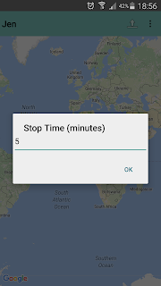
For long trips, this can be quite complicated to analyze, especially when Loc is set to continuous mode (i.e. data points are logged every second), to simplify viewing, stop mode may be used to display markers where in this case, we stayed in a location for a minimum of five minutes.
Tapping on each marker shows the start time, and duration the device stayed at the point of interest.


